Geographical Characteristics
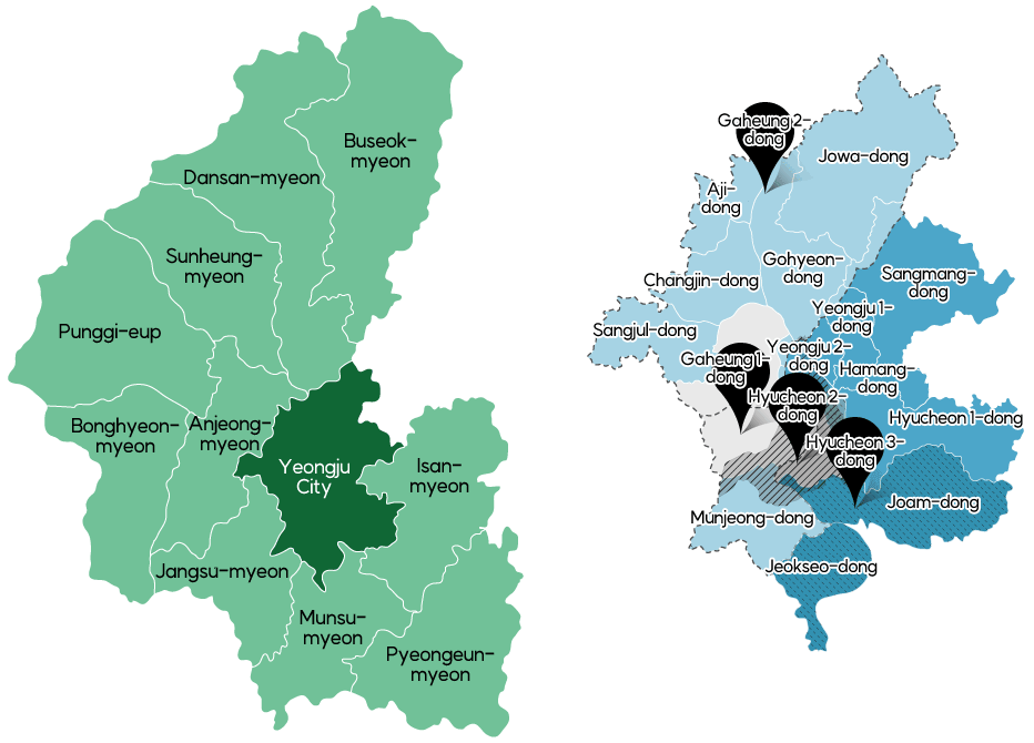
Yeongju-si, located in the northernmost part of Gyeongsangbuk-do, is roughly 200m above sea level and has an elongated shape that is longer from north to south than it is wide from west to east. The city sits on the Sallok plateau at the base of Sobaeksan Mountain, where the Sobaeksan Mountain Range stretches southwest, connecting peaks such as Birobong Peak (1,439m), Gugmangbong Peak (1,421m), Yeonhwabong Peak (1,394m) and Dosolbong Peak (1,315m) that borders the Jungnyeong Pass. To the east of Yeongju-si is Bonghwa-gun, to the west is Danyang-gun, Chungcheongbuk-do, to the south are Andong-si and Yecheon-gun, and to the north is Yeongwol-gun, Gangwon-do.
Naeseongcheon River, which springs from Bonghwangsan Mountain and the mountainous region to the north of the city, flows through Bonghwa-gun and reaches Sudogi-ri, Munsu-myeon. Namwoncheon River, which originates from Birobong and Yeonhwabong, the main peaks of Sobaeksan Mountain, and Jungnyeong Pass, along with Jungnyeongcheon River, flowing in from Gugmangbong Peak, merge at Gohyeon-dong to form Seocheon River, which winds its way around Yeongju-si, then flows into the Nakdonggang River. Most of the city’s soil is sandy clay, which is great for growing a variety of crops. The more mountainous region to the north, however, has sandy loam, making it the perfect place to grow Ginseng and apples that require soil that drains well.
City Location
| Location | City Limits | Location | Neighboring Region | Length |
|---|---|---|---|---|
| 1, Sicheong-ro, Yeongju-si, Gyeongsangbuk-do | Eastern end | Oun-ri, Pyeongeun-myeon | Nokjeon-myeon, Andong-si | East-west 30.7km |
| Western end | Sucheol-ri, Punggi-eup | Danyang-gun, Chungcheongbuk-do | ||
| Southern end | Jigok-ri, Pyeongeun-myeon | Bukhu-myeon, Andong-si | North-south 41.5km | |
| Northern end | Namdae-ri, Buseok-myeon | Yeongwol-gun, Gangwon-do |